Hermits peak (10,263 feet). is at the extreme southern end of the Rockies in the Sangre de Cristo mountains. The peak rises 3700 ft above the town of Las Vegas in northern New Mexico. Hermits Peak Trail (number 223) originates at the El Porvenir Campground (7,543 feet) in the Santa Fe National Forest. The Trail is easy to follow (despite my ability to lose the trail on my last attempt.) There are a few places where the trail joins an old jeep road for a short distance and then turns back north. Watch for the trail signs and you shouldn’t have any problems.

Some friends at the Hermits Peak Trailhead.

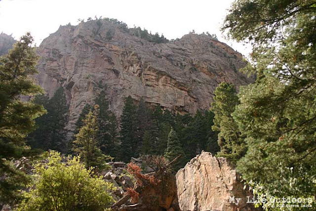
The trail with Hermits in the background

Be sure and keep an eye out for trail signs. The trail can get confusing if you are not careful.
At the beginning of the trail you will notice a sign informing you the trail passes through private property. You will pass through an open gate in a barbwire fence shortly before crossing a small stream. For most of the way the trail climbs gradually just west of the stream. At about 1.75 miles (8,600 feet) you will cross to the East side of the stream and begin the first of about 25 switchbacks. Over the next 2 miles you will steadily gain 1,200 feet of elevation.


At the top of the switchbacks you will begin to think you have made it to the top only to find another half mile and 360 more feet of elevation.
At the top of the switchbacks you receive your first really good view of the valley floor. The Santa Fe National Forest seems to go on forever into the surrounding foothills. From here its only about 0.6 miles and about 360 feet to the summit.
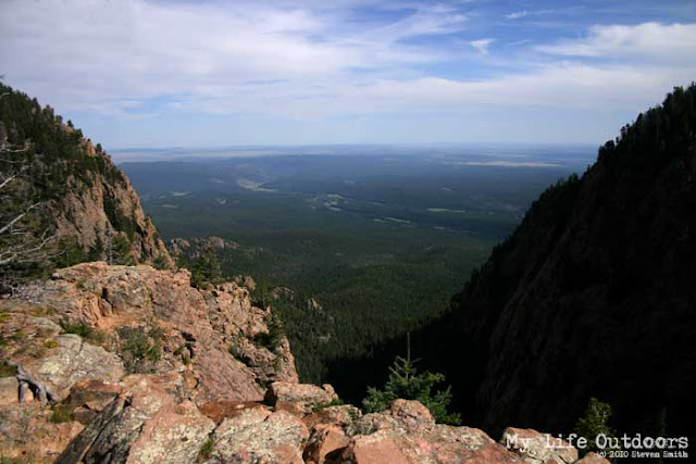
The view from the top of the switchbacks

At the top of the switchbacks

Near the summit you will pass by Hermit's Spring located in a raised rock structure with a metal lid. Be sure and purify any water you intend to drink.

Inside Hermit's Spring. Be sure and purify any water you intend to drink.
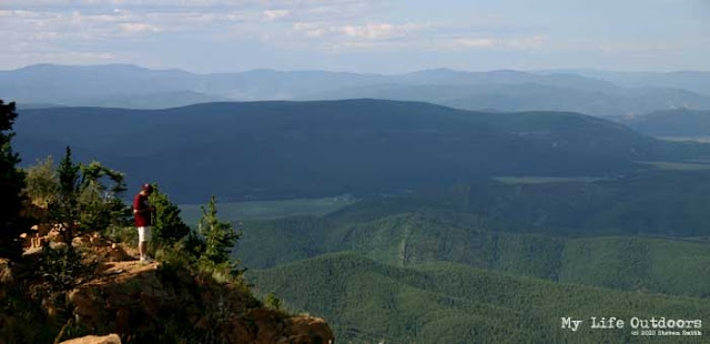
The view to the north from the Eastern Edge of Hermits Peak.

Looking down the Eastern Edge of Hermit's Peak

Survey Marker with the elevation scratched out.

Standing along Hermit's Eastern Edge

The Hike:
Miles: 4.25 (8.5 round trip)
Starting Elevation: 7,543 feet
Ending Elevation: 10,263 feet
Elevation Gain: 2,720 feet
Approximate Time: 3 hours 25 minutes one way
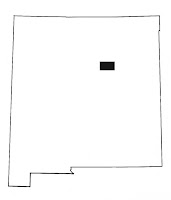
Map USGS Quadrangle cropped to 8.5 x 11 inches
Getting There:
Hermits Peak Trailhead: 35.710456º N 105.413815º W
The top of the switchbacks: 35°44'34.53"N 105°25'19.17"W
Hermits Spring: 35°44'41.99"N 105°25'15.09"W
Hermits Peak Summit: 35°44'39.73"N 105°24'54.75"W